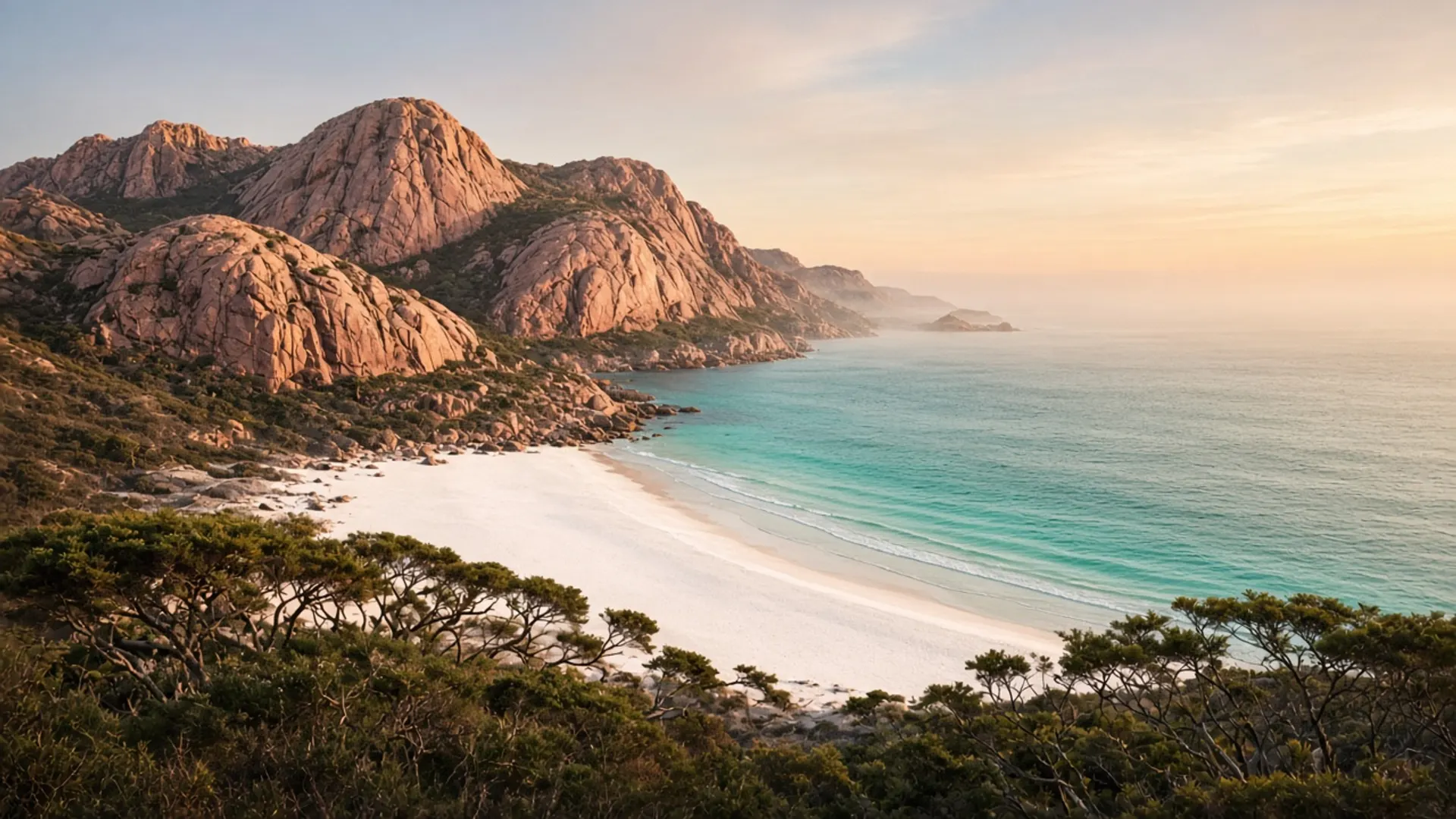
Plan Bridport as a north-east coastal town on Anderson Bay: a formed street, a usable shore, and a service pause between Launceston country and remoter sand. It is not the orange-lichen stage at Binalong Bay. It is not Boat Harbour’s enclosed crescent. It is the strait town you can actually fuel in before someone mentions Boobyalla Beach or Cape Portland.
If you wanted Freycinet, you are on the wrong coast. If you wanted a north-east base with a beach in walking distance of a main street, you are in the right one.
Anderson Bay, town grain
Bridport looks at Bass Strait across a wide, relatively shallow bay. Sand, tea-tree, and a holiday-town street are the visible grain. The water can look gentle and still be a strait. Swim with ordinary caution: weather, rips, no city lifeguard system. Beaches on this island vary; this is the north-east town-beach version.
Services exist in the pattern of a small coastal town — more than a locality, less than Burnie. Confirm hours. We name no restaurants and quote no room rates. Historical lodging adjectives on this domain are not live availability.
This is Palawa Country. The north-east’s coastal occupation and the later farming overlay are both real. Stay off fenced dunes and private tracks.
You do not need a parks pass for the township shore. You need one if you continue into Mount William National Park or any other national park. The Bay of Fires Conservation Area is a different instrument again; Parks’ current pages win. Do not assume one receipt covers every north-east pull-off.
How Bridport sits in the north-east
Inland, the tin valleys — Branxholm, Derby, the Blue Tier — are a highland rainforest climate. Confirm trail status there before you mix a ride with a swim.
Along the coast, Bridport is the civilised end of a shoreline that becomes more remote toward Boobyalla and Cape Portland. That remote end is a 4WD and tide conversation, plus hire-contract small print. Bridport itself is sealed-road, 2WD country in ordinary conditions.
South-east, St Helens and Binalong Bay are the Bay of Fires gate. That is a separate day. West, the Tamar towns — Beaconsfield, Beauty Point — are a river day. Ben Lomond is an alpine day with a steep road and a pass. Pick one weather window at a time.
From Launceston, Bridport is a plausible north-east run. From a Devonport ferry, it is a committed eastward choice, not a “while we’re here”. From Hobart, it is a different trip entirely; start with about Tasmania and match the airport to the coast.
Season, wildlife, manners
Summer fills holiday towns. Autumn is often the calmer island driving season — when to visit. Winter is quiet, short, and honest. Spring is wind on the strait.
Shorebirds and other wildlife use these beaches. Distance is the ethic. Penguin viewing is a seasonal, locational fact elsewhere on the island and is never guaranteed; do not invent a colony behind the surf club.
Guided days to Bridport are not a standard Hobart product. Self-drive is the tool. Tours remains useful only as the guided-versus-car argument for other regions.
Golf and holiday-park names have attached to Bridport in older directories. Treat any specific business as unverified until you confirm it. This page will not rank a course or a cabin.
Bridport’s job is to be a town on a bay: fuel, a walk, a sleep if that helps the north-east make sense. Then either go inland to forest, or go further along the strait with the vehicle and the official access you actually have — not the ones a photograph implied.