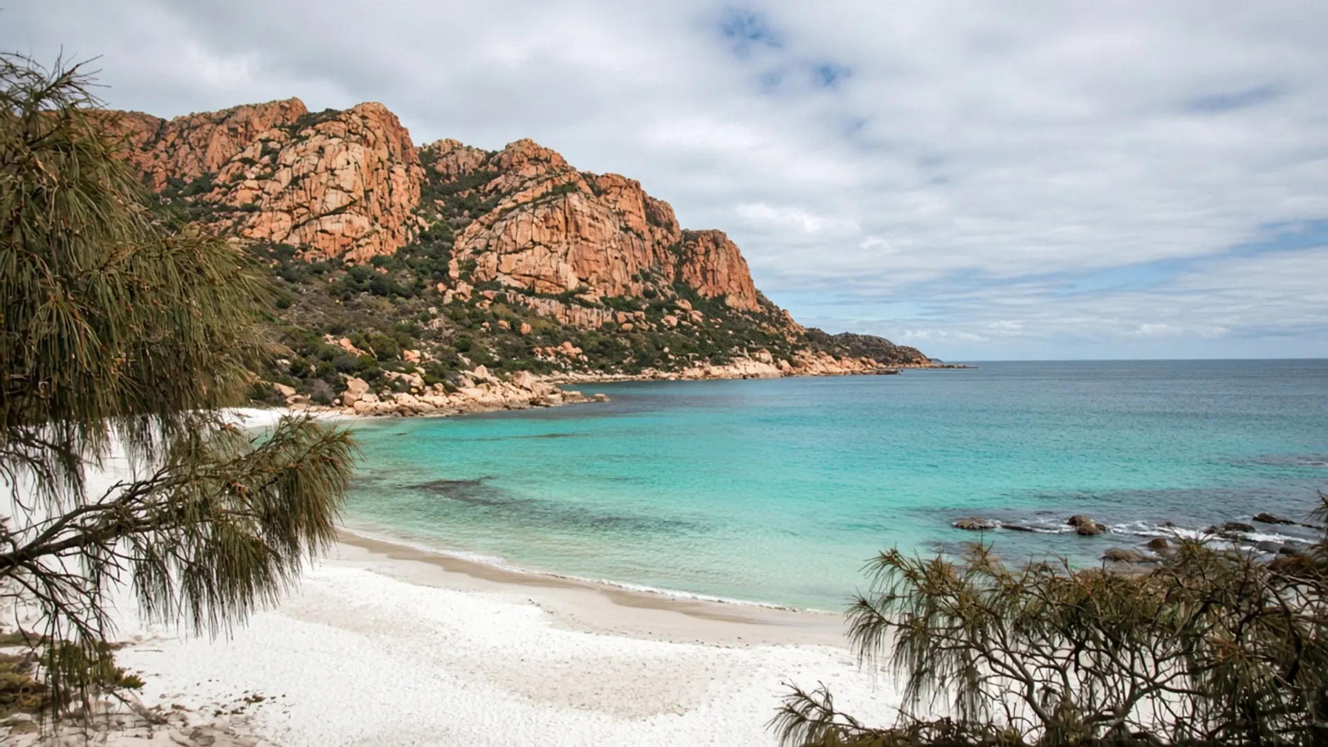
Choose a Tasmania beach by coast and weather, not by a list titled “best”. The east is often paler sand and granite. The west is Southern Ocean swell, dark sand and driftwood. The north is Bass Strait bays that can look tropical in a photograph and feel like a strait in a westerly. This page is a hub, not a scoreboard. It will not rank Wineglass against Boat Harbour. It will not invent a water temperature.
If you need a swimming day, read the forecast, then pick a coast. If you need a walking day, almost any legal shore will do if you respect reserves.
East coast — granite, lichen, national-park sand
The east is the Tasmania most first visitors already have in their head. Freycinet National Park holds Wineglass Bay and the Friendly Beaches; a parks pass is required inside the park. Bicheno has a working-harbour shore and a blowhole walk. Binalong Bay opens into the Bay of Fires Conservation Area: orange lichen on granite, pale coves, Parks and council rules.
Maria Island’s beaches sit behind a ferry and another national park. They are a day you protect, not a toilet stop.
East-coast water photographs as turquoise more often than west-coast water does. That is geology and fetch, not a promise. Southerlies still wreck a picnic. Rip and swell still apply. There are no lifeguard-city beaches in the mainland sense at most of these coves; know your own limits.
A three-day east-coast itinerary is enough for Freycinet plus one slower shore. It is not enough for every named beach from the Tasman Peninsula to Cape Portland.
West coast — the ocean is the point
West-coast beaches face the Roaring Forties. Sand can be darker. Kelp and driftwood pile up. Wind is not an anecdote. Arthur River and the Edge of the World are the lookout version of that shore. Strahan and Macquarie Harbour are the harbour version. Neither is a casual snorkel loop.
Some west and north-west sand is vehicle country inside conservation areas, with Parks access rules and real 4WD requirements — 4WD. A suburban hire car on a beach is how holidays become recovery jobs. If the official page says no vehicles, there are no vehicles.
takayna / Tarkine coastal stretches are reserved, remote, and culturally serious. Walk formed, legal ground. Do not invent a camping hollow in the dunes.
You will swim less often on this coast. You will remember the weather more. That can be the better day.
North and north-west — bays, strait light, town beaches
The north coast looks at Bass Strait. Boat Harbour is the famous crescent of pale sand and turquoise water beside a small town — still not a ranking, still weather-bound. Burnie has a working-port shore as well as nearby coastal reserves. Bridport is the north-east town beach version. Boobyalla Beach is remoter north-east sand with tide and vehicle caution.
These shores can be milder than the west and less granite-theatrical than the Bay of Fires. They are also closer to the Bass Highway, which makes them useful on a ferry arrival from Devonport. They are not a substitute for Freycinet, and Freycinet is not a substitute for them.
Penguin wildlife on some north and east shores is seasonal and not guaranteed. Keep distance; use official viewing advice where it exists; never chase a bird for a torch photo.
Islands, rips, and what this hub will not do
Bruny Island has both channel beaches and Tasman-facing sand at Adventure Bay. The Neck is an isthmus, not a swimming lesson. South Bruny National Park needs a pass. Furneaux beaches on Cape Barren Island and Badger Island are not public mainland car-park stories; do not invent access.
This hub will not:
- Rank beaches.
- Quote water temperatures.
- Promise a swimming season.
- Name surf schools or hire shacks.
- Treat a conservation area as a national park or the reverse.
Season still matters — when to visit. High summer is when east-coast car parks fill. Autumn is often the kinder walking shore. Winter is for people who like wind and empty sand. For the island-wide reserved-land frame, about Tasmania. For whether you should even be driving onto sand, 4WD and Parks, in that order.