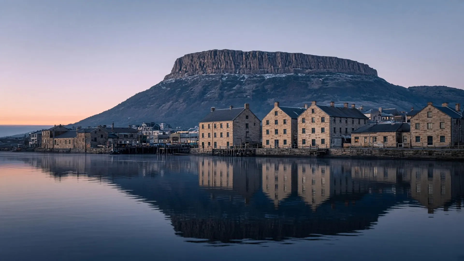
Plan Beauty Point as a western Tamar river town: a street on an estuary, a place to watch tide and shipping light, and a pause beside Beaconsfield — not as a guaranteed aquarium day. Older visitor directories attached specific attractions to this pinch of river. Those attachments go stale. This rebuild will not name operators, reprint a tank list, or quote a family ticket. Confirm whatever is actually open with the venue or the town the morning you drive.
The river does not go stale. Start there.
A town on kanamaluka / the Tamar
Beauty Point sits on the west bank toward the lower Tamar, where the drowned river is already wide and maritime. George Town and Low Head face it across the water. Launceston sits far up-estuary. The point is a sheltered-looking shore that still feels the strait when the wind is wrong.
Expect a small Tasmanian town: services on a limited clock, houses looking at water, a working edge that may include boats and marine industry. We will not inventory moorings. Walk public foreshore. Stay off private jetties.
This is Palawa Country. The Tamar’s dual name appears in official use; follow it.
Battery Point in Hobart is a sandstone suburb on a different river. The rhyme in the name is coincidence plus English. Do not plan them as a pair.
Confirm current visitor attractions locally
Here is the only attractions paragraph this page will give you:
Beauty Point has, at various times, hosted visitor experiences tied to the river and to marine animals. Whether any particular experience operates today, what it holds, whether it suits children, and what it costs are facts we have not verified. Heritage listings on this domain are context. They are not live product.
If you care, telephone, look at a current official page, or ask in town. If the doors are shut, you still have an estuary. That is a better outcome than a locked door and a ruined timetable.
The same rule covers the Beaconsfield mine interpretation and the Bass and Flinders Centre: historical listing, details unverified.
How Beauty Point sits in a day
A Tamar day should be a loop or a single bank, not a crossing you make six times.
Plausible uses:
- A west-bank morning with Beaconsfield, then a decision whether to continue toward the north coast or back to Launceston.
- A lunch pause if something is actually open — confirmed that day.
- A quiet foreshore walk when you have already had enough of highland roads.
Narawntapu National Park is the nearby Parks coastal reserve toward Port Sorell and the Asbestos Range country. If you enter the park, take a parks pass and read alerts. Penguins and other wildlife there are wild; viewing is not guaranteed and is subject to current management.
You do not need a 4WD for Beauty Point. You need one only if you then peel onto unsealed north-east or west tracks you have researched — 4WD.
Season on the Tamar is gentler than Ben Lomond and less theatrical than the Bay of Fires. It is still Tasmania: layers in spring, short afternoons in winter, busy beds in January — when to visit.
What not to bolt on
Do not combine Beauty Point, Cradle Mountain and Wineglass Bay. The map is a liar. Do not assume a guided day from Launceston includes this town; tours exist in several Tamar shapes, none of which we rank.
If you arrived from the Spirit into Devonport, Beauty Point is a possible first river hour before you choose north-west beaches such as Boat Harbour or east toward the Tamar’s upper towns. If you arrived into Hobart, this is a different trip — start with about Tasmania and pick a coast that matches the airport.
Beauty Point is a name that sounds like a promise. Treat it as a town on a wide river, confirm the extras, and let the estuary do the work.