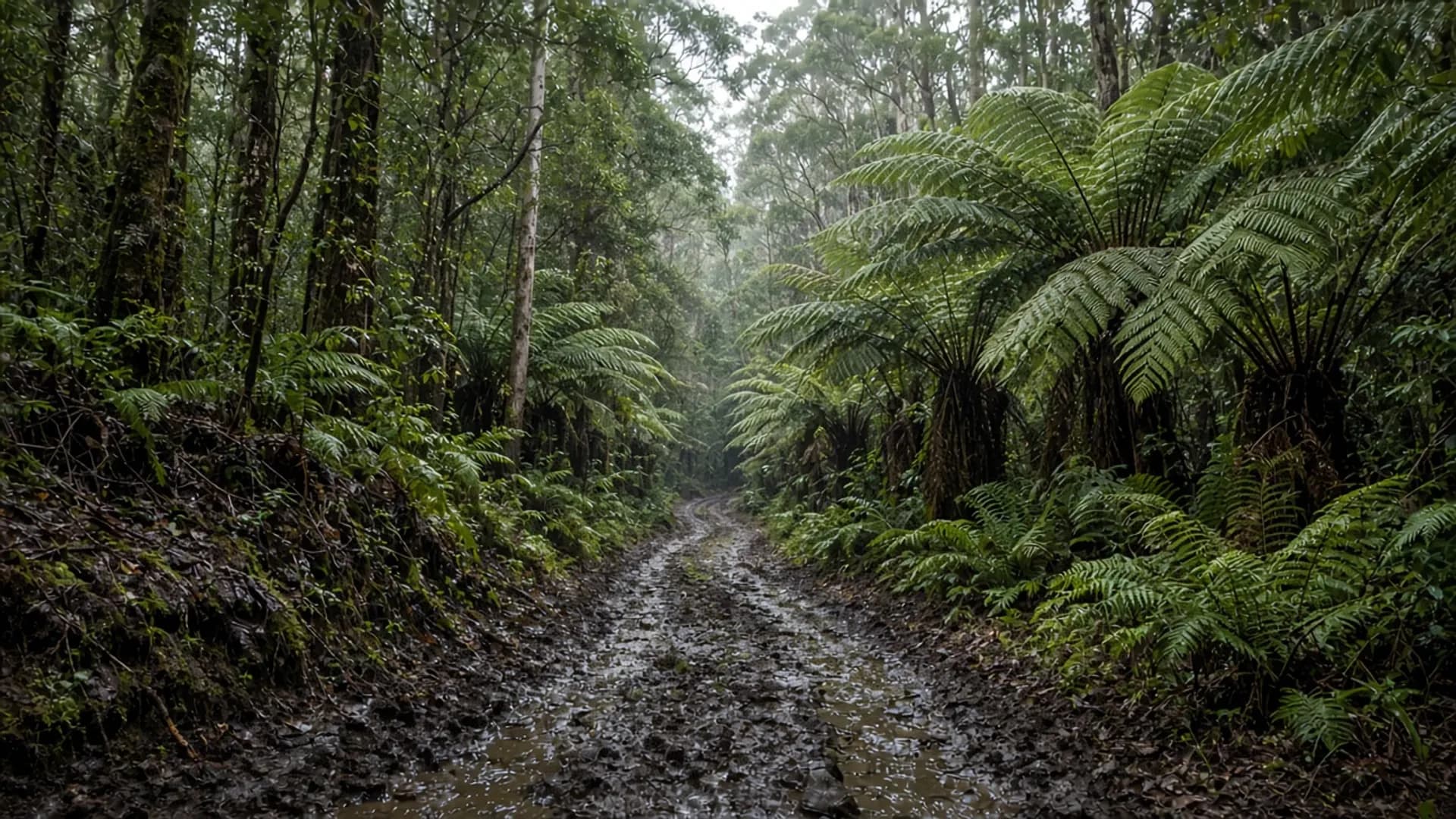
Do not treat Balfour as a casual 2WD picnic. It is a historic tin-mining locality in remote north-west forest, in the broader takayna / Tarkine neighbourhood, with approaches that can be unsealed, wet, and closed. The pin on a phone is a survey memory. It is not a grading report, a toilet block, or a promise that the last kilometre is still a road.
If your Tasmania week is Freycinet and Hobart, skip this page and stay on bitumen. If your week is west-coast tracks, start from Parks and current forest-road advice, not from nostalgia.
A mining locality, not a town you can count on
Balfour rose and faded with early twentieth-century tin. Like many Tasmanian mineral camps, it left a locality name, scattered relics, and a forest that moved back in. There is no visitor precinct here that this guide can verify: no staffed museum, no advertised hours, no “interpretive ghost town” with a ticket office.
What you might find, if you have a lawful, currently open approach, is remnant mining country: disturbed ground, old alignments, wet eucalypt and rainforest edges. What you must not do is enter private or active forestry, strip relics, or assume a ruin is a playground. Heritage fabric in remote Tasmania disappears when people pocket it.
Public mineral history on this island is real — Beaconsfield on the Tamar is the gold-town version with a main street; Branxholm and the Blue Tier are the north-east tin version. Balfour is the remote north-west version. Remoteness is the feature and the risk.
Access is the whole problem
Approaches sit in a mix of reserved land, forestry tenure and minor roads that change with harvest, fire and rain. Clay in the takayna / Tarkine does not forgive all-wheel-drive confidence. Read 4WD. Then read it again.
Before any approach:
- Check Parks Tasmania if the alignment enters reserved land.
- Check current forestry and council road status.
- Believe “closed” when you see it.
- Carry the isolation kit you would carry for Arthur River track country: water, layers, a way to tell someone your plan.
- Do not confuse a hire SUV with a high-clearance 4WD, and do not confuse either with permission.
The Arthur-Pieman Conservation Area and other west and north-west reserves have published vehicle rules. Balfour is adjacent in spirit — remote, mineral, wet — even when it is not on the same track. Cape Grim is the scientific headland to the north-west; it is a different road logic and still not a forest picnic.
This is Palawa Country. Dual names and reserved takayna / Tarkine forest are part of the official conservation debate. Do not treat an old mining name as a licence to ignore that.
What a responsible visit would look like if conditions allow
A responsible visit is a researched, fair-weather, high-clearance trip with an exit time, not a detour from a Burnie café crawl. You leave the Bass Highway with hours in hand. You turn back at the first doubtful creek. You do not walk into adits. Mine openings are unstable; they are not photo sets.
There is no parks-pass slogan that covers every tenure you might cross. National parks require a pass; conservation areas and forestry roads follow other instruments. Confirm the tenure on an official map. Guessing is how people collect fines or get lost.
We will not publish a turn-by-turn. Tracks go stale. A stale turn-by-turn is how you end up on the wrong spur.
Why the old site listed it
The heritage gazetteer liked ghost-town names. Some of those names still have a main street. Balfour does not, in any visitor-economy sense we can verify. Keeping the slug is a 404-prevention choice. Filling it with adventure-copy would be a safety problem.
If you want interpreted mining history with a public face, start at Beaconsfield and treat even that as a historical listing where current visitor products are unverified. If you want rainforest walking with a current Parks note, pick a park that publishes a track time. If you want west-coast weather, stand at Arthur River’s Edge of the World and stay off the sand unless the official page says your vehicle belongs there.
Season is not a vibe here. Winter rain can shut a road that looked innocent on a January blog. Check when to visit for island climate, then check the local road authority for the only climate that matters: today’s.