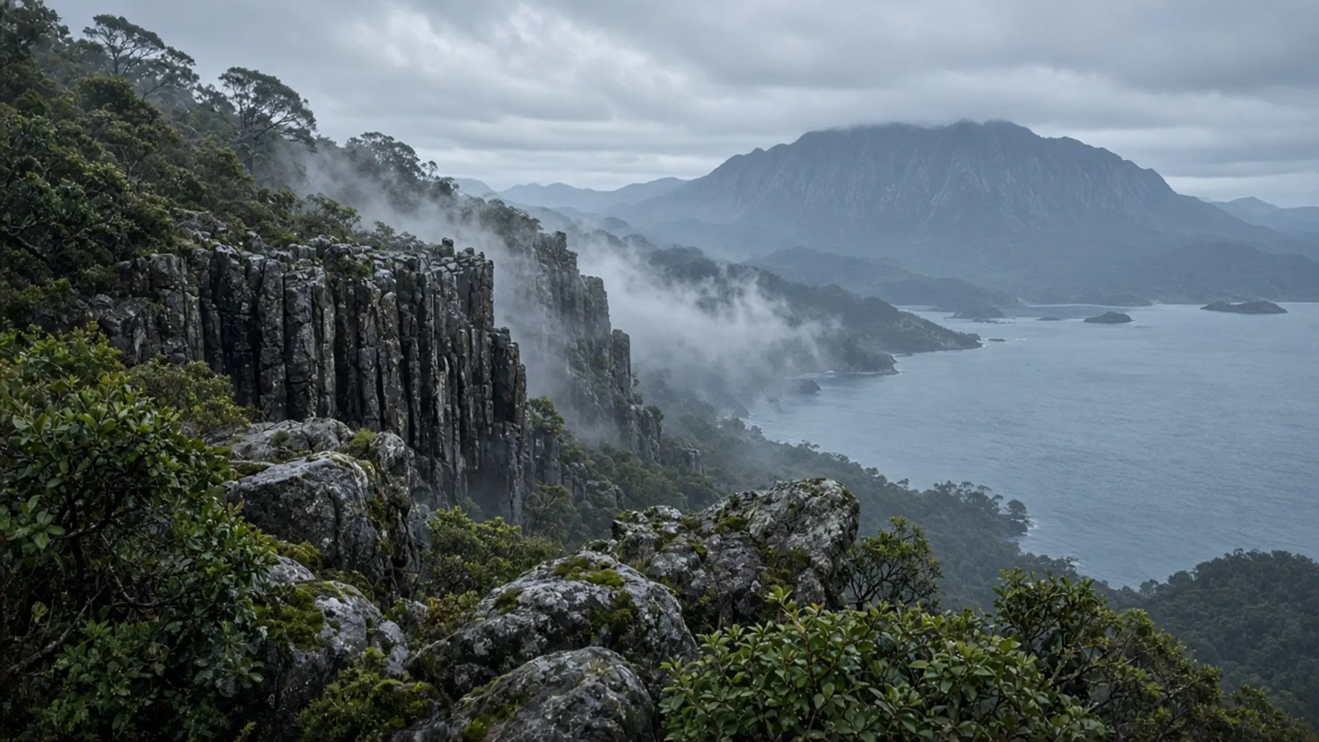
Plan Alonnah as Bruny Island’s channel-side township — the place with civic functions and a calmer shore — not as a substitute for Adventure Bay or the Neck. It sits on South Bruny’s western side, looking at the D’Entrecasteaux Channel rather than the open Tasman. You still arrive by the Kettering ferry. You still leave by it. The town is what happens in between when you need a street, a noticeboard and a bit of shelter from the easterly.
If your only Bruny photograph is the Neck, Alonnah is the reminder that people live here. That is the planning value.
Channel side, not ocean side
Bruny Island is two land masses joined by sand. The eastern bays take swell. The channel shore takes a different water: more sheltered, more working, more like a river mouth that forgot to stay a river. Alonnah belongs to that western shore. The views are across to the mainland hills of the Huon and the d’Entrecasteaux, not to Fluted Cape.
The dual name lunawanna-alonnah is official Palawa language for the island, and Alonnah is one of the two names sitting in plain sight on the map. Treat it as a place name with history, not as decoration on a sandwich board.
Because the township faces the channel, weather feels different from Adventure Bay. A day that is rough on the cape can be merely fidgety here. That does not make Alonnah a wet-weather theme park. It makes it a sensible pause: eat, read the ferry time, decide whether South Bruny National Park is still a good idea.
Civic Bruny
Alonnah is where island administration shows up. Kingborough Council is the local government for Bruny as well as for the Kettering side of the channel; civic services, halls and the ordinary machinery of a small Australian township cluster here more than they do at a beach car park. Confirm current counter hours, medical arrangements and any fire or road notices with council and Parks, not with a cached blog.
This is also why a Bruny day that never leaves the Neck is a thinner day than it looks. The island has a town. It has a school-age population on a good year. It has a shoreline people use for moorings and quiet walks. You are a guest in that grain.
We will not list cafes, cellar doors or “must-do” operators. Those inventories go stale and this rebuild does not verify them. Buy food where you find it open. Assume peak-summer ferry days thin the shelves. Assume winter days thin the opening hours. When to visit is the seasonal argument; Alonnah is where that argument becomes a closed door or an open one.
How Alonnah sits in a Bruny day
A Bruny itinerary has to choose a character. The Neck is the isthmus. Adventure Bay and Fluted Cape are the east-shore parks-pass walk. Alonnah is the channel town that lets the day breathe.
A practical pattern, not a booking:
- Catch an early ferry from Kettering. Peak queues are real; they are not a scandal.
- Stop at the Neck if you want the lookout and you have not blocked the single-lane isthmus.
- Decide: cape walk at Adventure Bay, or a slower channel-side few hours through Alonnah and the western shore.
- Hold margin for the return sailing.
South Bruny National Park still needs a parks pass when you enter the park. Alonnah itself is not the park. Do not skip the pass because you had lunch in town.
If you are staying overnight on Bruny, Alonnah is one of the names that appears in beds and houses. We do not quote rates. Historical accommodation directory language on this domain is context only. Confirm a room with the host or the current booking channel.
Guided day or self-drive
Alonnah is easy to miss on a guided Bruny loop that is timed to a lookout and a ferry. That is not a moral failure of tours; it is what a clock does. Self-drive is how you actually stand on the channel wall and do nothing for twenty minutes. Read tours if you are choosing that fork, and the three-day southern itinerary if Bruny is one day in a Hobart-based week.
Do not bolt Alonnah onto an east-coast Freycinet day. The ferry and the Tasman Highway are not the same afternoon. Give the island its own weather window, and let the township be a township.