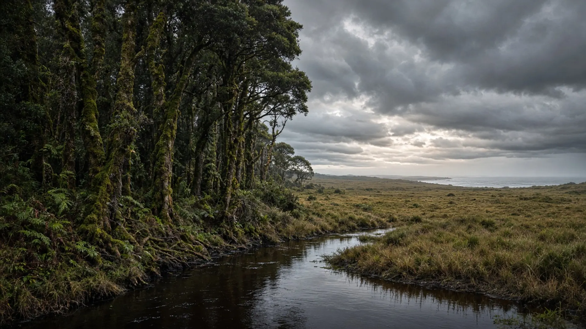
Do not plan a landing on Albatross Island. It is a small, exposed Bass Strait island off Tasmania’s north-west, used by breeding seabirds, and treated in official conservation language as sensitive country. This page exists because a heritage slug pointed here. It is not an invitation, a boat timetable, or a secret-beach tip.
The useful visitor question is different: how does this island sit in the public geography of the north-west, and what should you do instead?
Where it is, and what it is for
Albatross Island lies west of the Hunter Group, off the far north-west of the Tasmanian mainland — the same maritime neighbourhood as Cape Grim’s Southern Ocean fetch, not the holiday bays of the east coast. The island is rocky, small, and fully committed to the strait. It is not a township. It is not a national-park day walk with a formed car park.
Its public importance is ecological. The island is a documented breeding site for albatross and other seabirds. Shy albatross (Thalassarche cauta) nest in Tasmania’s north-west island chain; Albatross Island is part of that story in scientific and conservation literature. Colonies on small islands are easily disturbed. That is why access is restricted and why this guide will not sketch a landing cove, a camp spot, or a “best season to go ashore”.
If you came here hoping for a Bruny-style neck lookout, turn around. The comparable public experiences are on the mainland coast and in parks that actually want walkers.
Restricted and sensitive access
Parks, biosecurity and seabird-recovery programs treat breeding islands as managed, not open. Permits, research access and seasonal closures are the official tools. None of those tools are a tourism product this site can verify, and none should be inferred from a pin on a phone.
What “restricted” means in practice for a visitor:
- Do not land.
- Do not launch a private boat with the island as a destination.
- Do not fly a drone at a colony. Disturbance is the harm, not the photograph.
- Do not repeat old directory language that made a wildlife island sound like an excursion.
If you are on a licensed commercial voyage somewhere else in Bass Strait, stay on the vessel’s program and the operator’s permits. We still will not name operators. Confirmation always sits with the managing authority, not with a rebuilt website.
The same caution applies to nearby island country in the Furneaux and Hunter groups. Badger Island and Cape Barren Island have their own Aboriginal-land and community contexts. Do not collapse “island off Tasmania” into one access story.
What to do on the north-west mainland instead
The north-west is a real trip. It does not require a restricted seabird island.
Cape Grim is the public clean-air story: the Baseline Air Pollution Station and a headland that faces uninterrupted Southern Ocean westerlies. It is a scientific and geographic place, still not a casual picnic beach. Arthur River and the Arthur-Pieman Conservation Area are the Parks-managed west-coast track country, with vehicle rules you must read before you leave bitumen — see 4WD. Boat Harbour is the opposite mood: a north-coast village and a turquoise bay you can actually stand on.
Burnie and the north-west cities are where services and the Bass Highway live. Use them as the settled fringe about Tasmania describes, then choose a mainland coast or a park that publishes visitor access.
Seabirds can still be part of a north-west day without a landing. Watch from legal mainland lookouts. Carry binoculars. Accept that colony islands are doing conservation work you are not invited to interrupt.
Why this slug survives
The old site kept compressed island names — albatross-isld among them — in a gazetteer that mixed towns, parks and specks on a chart. This rebuild keeps the clean path so heritage links do not dump you on a 404, and it rewrites the note so the island is described as what it is: a breeding site, not a product.
If you are building an island-hopping fantasy across Bass Strait, stop and read the Furneaux pages with the same restraint. If you are building a north-west driving week, start from Parks alerts, a weather window, and a sealed-road plan. Albatross Island should remain a name on the chart and a success story for birds, not a stamp in a passport.